

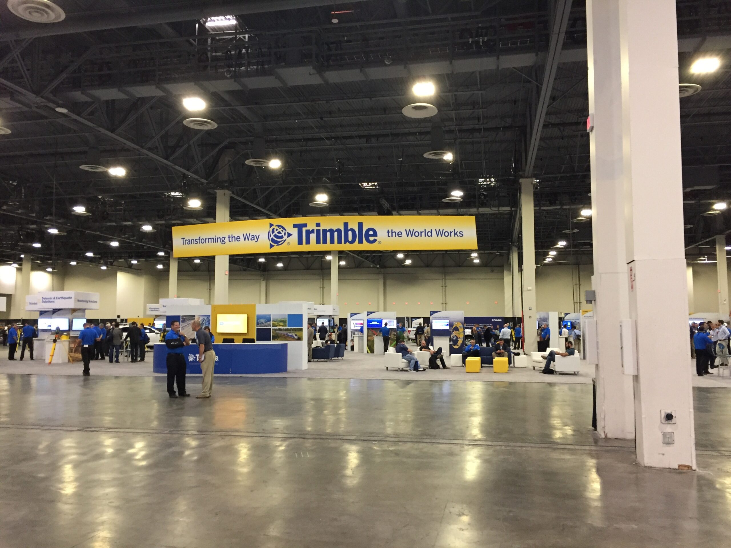
The Trimble Dimensions 2016 conferences started in 2005 and were originally held every year. Now the event is held every other year. The 2016 edition was, as expected, an awesome experience and learning adventure. In hockey terms, there were three stars of the conference.
The number one star of the conference was the integration of the Microsoft Hololens mixed reality headset display paired with the new Trimble Sketchup View software. The integration of Sketchup View with Hololens makes the development and consumption of 3D content straight forward and easy to use. In a spectacular Keynote with on stage demo, the abilities of the Hololens were displayed to the audience along with designs from cutting edge architect Greg Lynn.
The second star of the conference was the new SX10, which I would call a total station but it is so much more. This is the first total station that I have seen that does not have an eyepiece, it doesn’t need it. This device is definitely a total station but it is also an image capture device for photogrammetry and a full blown 3D scanner. I was able to play around with the SX10 on the expo hall floor and it ability to track a prism, scan objects to create a fully measurable point cloud, and take imagery all seamlessly has my mind spinning as to all of the ways that we could possibility use such a device.
The third star of the show and likely the most interesting, at least for now to the GSI crew and their customers, is Trimble Catalyst. The Catalyst system is billed as “centimeters for your cell phone”. Catalyst is a combination of GNSS software integration tools and a low priced $350 high accuracy GNSS digital antenna. The cool part is that this system can provide from meter level to cm level positions on your cell phone applications with no software development at all. Now if you want more bells and whistles in your application, GSI would be able to integrate Catalyst into GSI Collector to provide that advanced level of control and metadata about the GNSS accuracy. Catalyst is expected to be available in early 2017.
As always the sessions at Trimble Dimensions were a great place to learn and network with peers and people from completely different industries which often is where I learn the most. Trimble Energy has a slick new GIS viewer and situational awareness visualization tool called Utility to Go. Utility to Go is HTML5 based so it will work on almost any device, mobile or otherwise. It does integrate with Trimble NIS and DMS systems, but could be linked to other non-Trimble outage management and GIS systems as well. There were some interesting demos from Trimble’s utility clients on using the system in their outage restoration efforts. Of particular interest was the Elenia Oy electric utility in Finland that will by 2028 have 70% of their medium voltage and low voltage system buried. There are doing this in order to meet the stringent government imposed system reliability targets.
Another key take away from the conference is the ever growing use in daily work life of 3D data in planning, design, construction, and operations. I think in this space GSI has a good starting point with some of the 3D visualization within DDS. I personally have change my mind and now think the 3D fly through technology from TL-Pro and having that technology integrated into DDS is no just eye candy but a better way to help our end customers visualize how a design will look in the field. People’s ability to visualize 2D drawings in 3D varies widely. Recently I was chastised by Christina, my much better half, for the house plans that a hired design firm provided. The design is 2D as it is not in 3D like the HGTV Property Brothers. Our customers, whether they are internal or the external paying customer, should expect that we can provide to them a visualization of our designs in 3D.
I attended a very informative session on small UAS (drones) use in the commercial world. The gentlemen from Juniper Unmanned had an excellent presentation concentrated on a systematic approach to setting up the practices and procedures for using UAS technology in a safe, compliant efficient and effective way. This information has reinforced the concept in my mind that the use of UAS technology within the commercial space should be carefully controlled. Once a device goes in the air, you open you and your utility up to great gains if done correctly, but also possibly great risk if the approach isn’t carefully administered. There should be a program of well trained and thoroughly competent teams used to apply this technology.
My final observation takes me back several years to when I first commented to our Trimble support team about how I could see how machine control could be used within the utility space for setting poles, installing anchors, and digging trench for underground conductors. I sat through a session where a contractor needed to place 158,000 holes in the desert with a vertical hole drilling rig. The tolerance of the holes needed to be within 0.25″ on center. They were able to achieve this goal by adding GNSS receivers, antennas, and inertial sensors to drilling machines. Those with experience in the room said the use case for a utility work is readily doable and rather easy to configure. The system could work with or without an internet connection. We also had a conversation with the Trimble experts about using some of their add-on machine control technology to our digger derrick equipment to enable our machine operators to place pole holes and anchors. The Trimble machine control system DPS900 along with the appropriate sensors could fit the bill.
Thanks to GSI for allowing me to contribute to their blog, as it helped me to be more focused and take better notes at the conference. For those that have never attended the Trimble Dimensions conference, I hope to see you there in 2018!
Guest Blogger: Matt Shellenberger. Matt Shellenberger is a 19-year employee of a large utility. Matt is a Principal Engineer in the Distribution Engineering Best Practices group. His team develops, trains, supports and administers surveying and engineering design software for 600+ engineers and technicians across an 11 state service territory. Matt has a BSEE from the University of Toledo, and MSEE from Michigan Tech University, and a Land Surveying Certification from Columbus State Community College. Matt is a registered Professional Engineer in the State of Ohio. In his spare time, make likes to read, wakeboard, ride bicycles, run, play ice hockey and travel.